File:South Africa.png
Revision as of 16:02, 29 January 2022 by Gor (talk | contribs) (Map of South Africa Category: Geography:Maps Category: Countries Category: Africa Category: South Africa)
Size of this preview: 600 × 600 pixels. Other resolutions: 240 × 240 pixels | 1,000 × 1,000 pixels.
Original file (1,000 × 1,000 pixels, file size: 190 KB, MIME type: image/png)
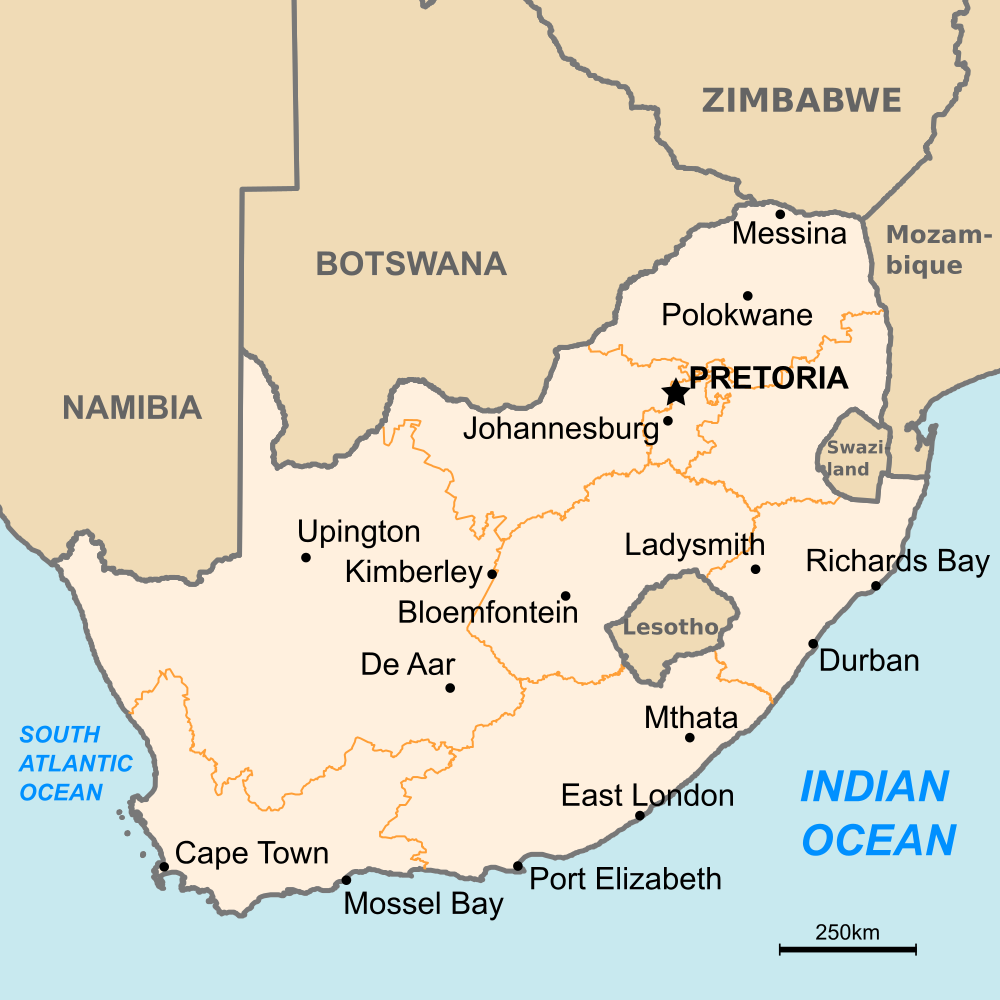
Map of South Africa
File history
Click on a date/time to view the file as it appeared at that time.
| Date/Time | Thumbnail | Dimensions | User | Comment | |
|---|---|---|---|---|---|
| current | 16:02, 29 January 2022 | | 1,000 × 1,000 (190 KB) | Gor (talk | contribs) | Map of South Africa Category: Geography:Maps Category: Countries Category: Africa Category: South Africa |
- You cannot overwrite this file.
File usage
The following page links to this file: